
EXPLORE THE NEOTROPICS
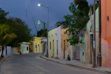
The vast Neotropics, stretching from southern Mexico to Argentina, stand apart from the rest of the world. Separated from the most human and biological history, this region is steeped in mystery and wonder. In these jungles, cities and remote mountains, I collect my field notes and sketches from travels across the southern half of the Americas.


The Wonder of Evolution
Photographing Biodiversity
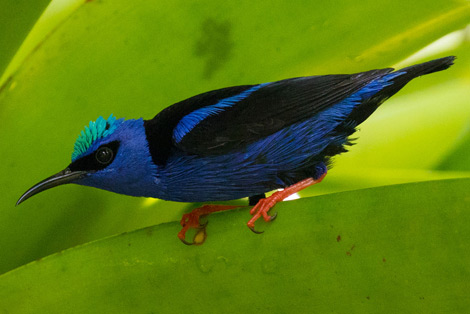
The living photographic subjects of the Neotropics are boundless and virtually untapped. In Notes from the Road, I take you beyond the monkeys and sloths and show you flora and fauna that have only rarely been captured by a camera. For example, in El Valle, I take the first ever photograph of a majestic skipper butterfly.
See a Stunning Creon Skipper
The Case for Nature Corridors
The global discussion about the need for larger protected conservation areas is alive in the Neotropics. I write about active efforts to connect existing national parks in Costa Rica and Panama.
Read about Nature Corridors in the Osa Peninsula
Fighting Antiscience
Latin America is much more than its lavish rainforests and wetlands, but for me, these dense wildernesses are a way to observe in person some of the great ecological issues of our day. For example, I use my experience in Panama to make a case against teaching intelligent design in the classrooms.
Read my Letters from the Canopy


