
Field Notes from North Africa
Discover the Dry World
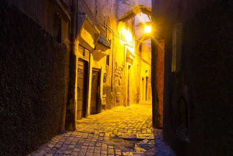
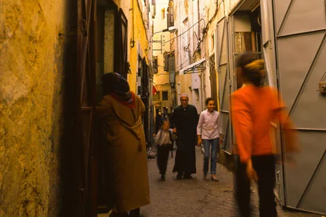
United by shared cultures, religions, and aridity, North Africa is sometimes called the Dry World — separated from its neighbors by sea and Sahara. Follow me through the medinas, courtyards, and desert landscapes of Morocco and beyond.



What Is the Dry World?
An Ocean of Stone and Sand
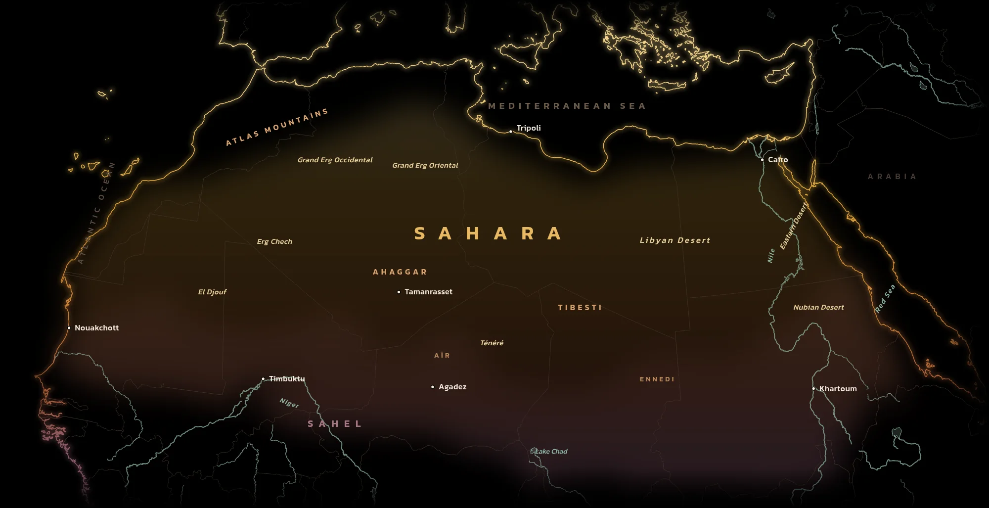
The Dry World is North Africa and, in time, the Middle East beyond it: lands bound together by shared cultures, religions and, above all, aridity. At its heart is the Sahara, which runs from the Atlantic to the Red Sea. The Atlas Mountains wall it off from the Mediterranean in the northwest, the Nile cuts through it in the east, and to the south it thins into the Sahel, from the Arabic for shore, as if the desert were a sea and the grasslands its coast.
It was not always dry. Until about five thousand years ago the Sahara was green, with lakes, hippos and cattle herders, and their paintings survive on the rock walls of the Tassili n’Ajjer. When the rains moved south, people moved with them, and the desert became a sea crossed by caravans carrying salt, gold, books and faith between the Mediterranean and West Africa. Most of it is not sand at all but bare rock plateaus, gravel plains and volcanic mountains. The dune seas, the ergs, are only the part everyone remembers.
- The Sahara, the Atlas Mountains and the Nile
You can see it clearly on any physical map. The Dry World is that only region colored in the khaki mocha tone of the Sahara sands. This region, then, is defined loosely by the Sahara desert, the Atlas Mountains in the west, and the Nile River in the east.
- Arabic and Berber Languages
The Dry World is dominated by just two languages; the related languages of Arabic and Berber.
- The Exit Point from Africa
Perhaps our greatest story is how we populated the world, a question which begins with how early humans, and also early hominins, left the African continent. The likely migration route is through North Africa. Anthropologists believe our ancestors have been migrating out of Africa for as long as 1.8 million years. This lends to the region’s mystery as an ancient place, and a connection between the oldest civilizations.
- 3.6 millionsquare miles of Sahara, about the size of the United States
- ~25%of the Sahara covered by sand dunes
- 5,000 yearssince the Green Sahara dried out
- 4,100 mithe Nile, the one great river that crosses it
From the Atlantic to the Gulf of Tunis
My stories so far, from west to east.
- MoroccoThe Atlantic edge of the Dry WorldFrom the Strait of Gibraltar to the Atlantic coast and the red city at the foot of the Atlas.
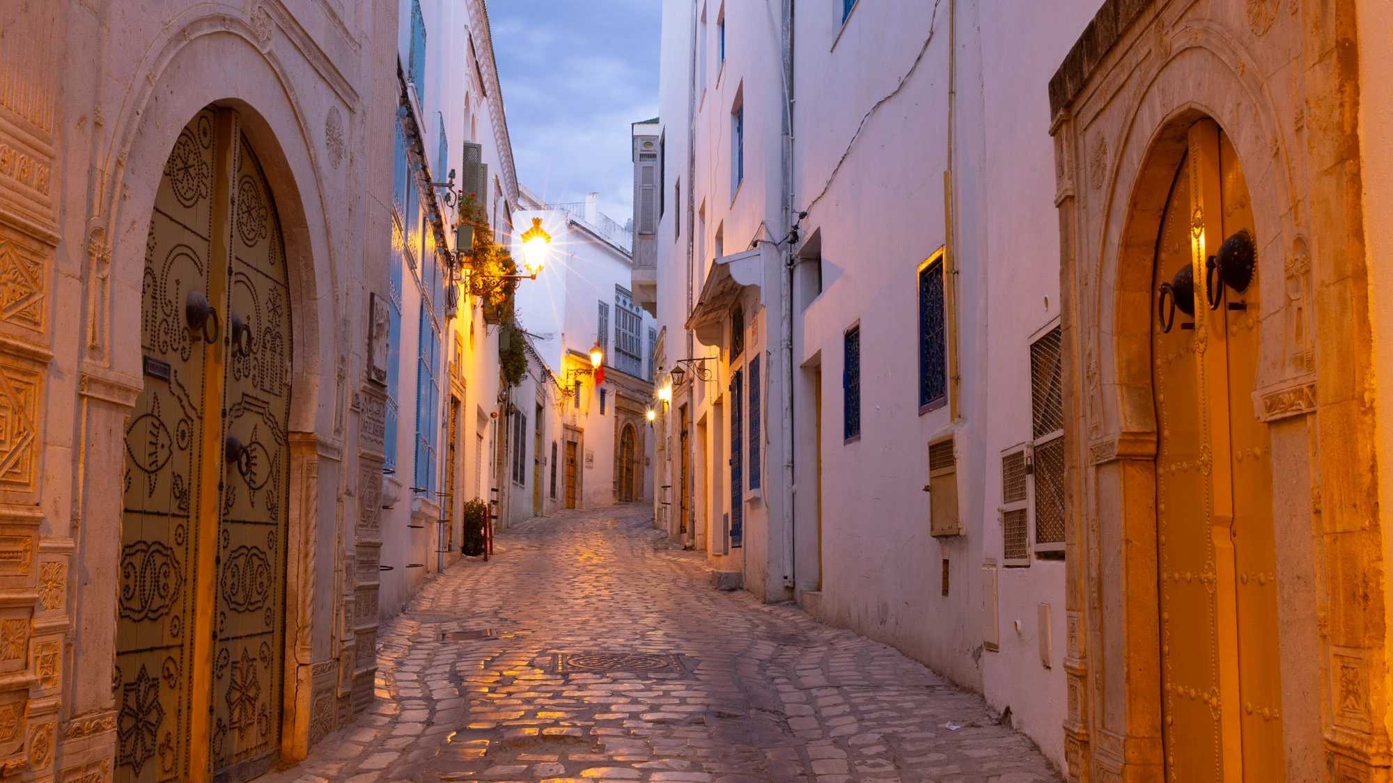
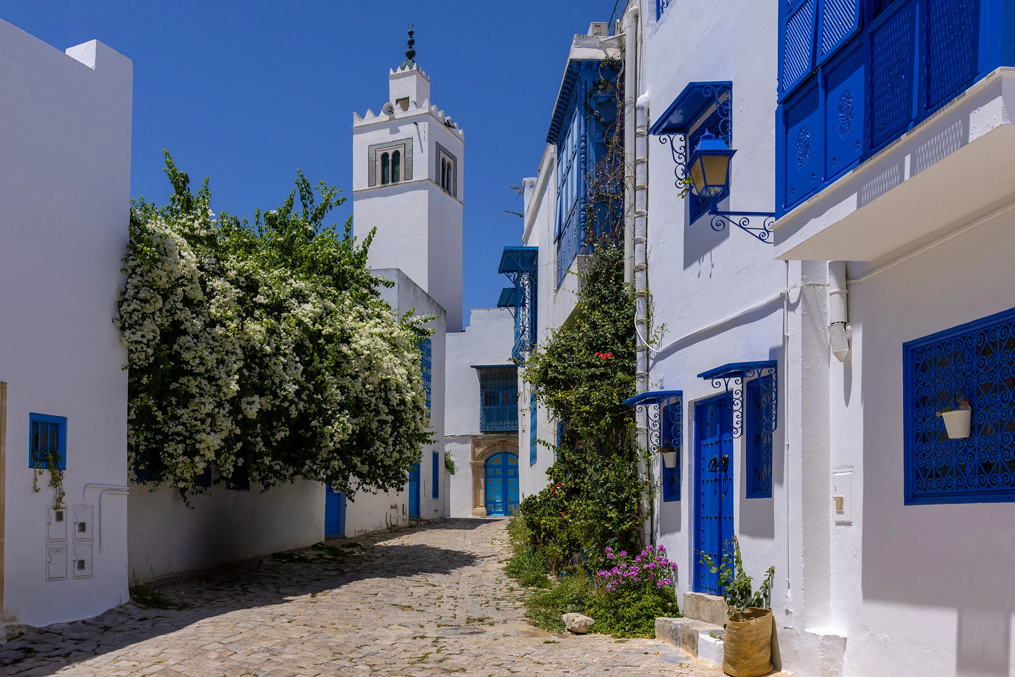
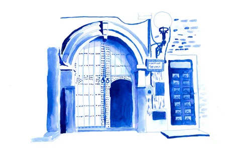
- TunisiaWhere Africa reaches for SicilyThe old medina of Tunis, the blue and white village above the Gulf, and the road from the mountains to the salt lakes.