Field Notes from the Cold Desert
Discover the Great Basin
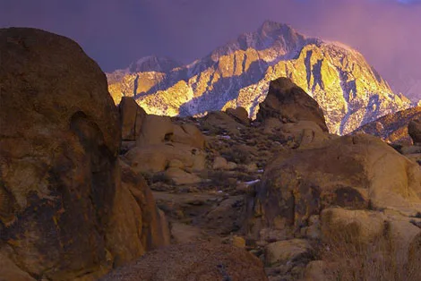
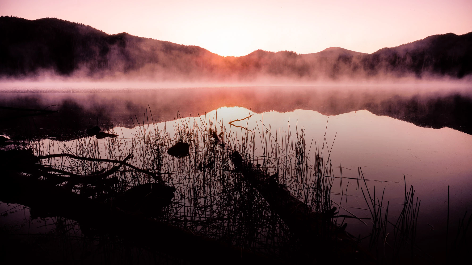
The arid cold deserts of western North America are spare landscapes of basin and range, grass and scrub, inhabited by eccentrics and wayward believers. Follow me through the Great Basin and the nearby Sierra Range.

Stories from the Great Basin



What Is the Great Basin?
Where the Rivers Never Reach the Sea
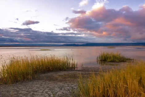
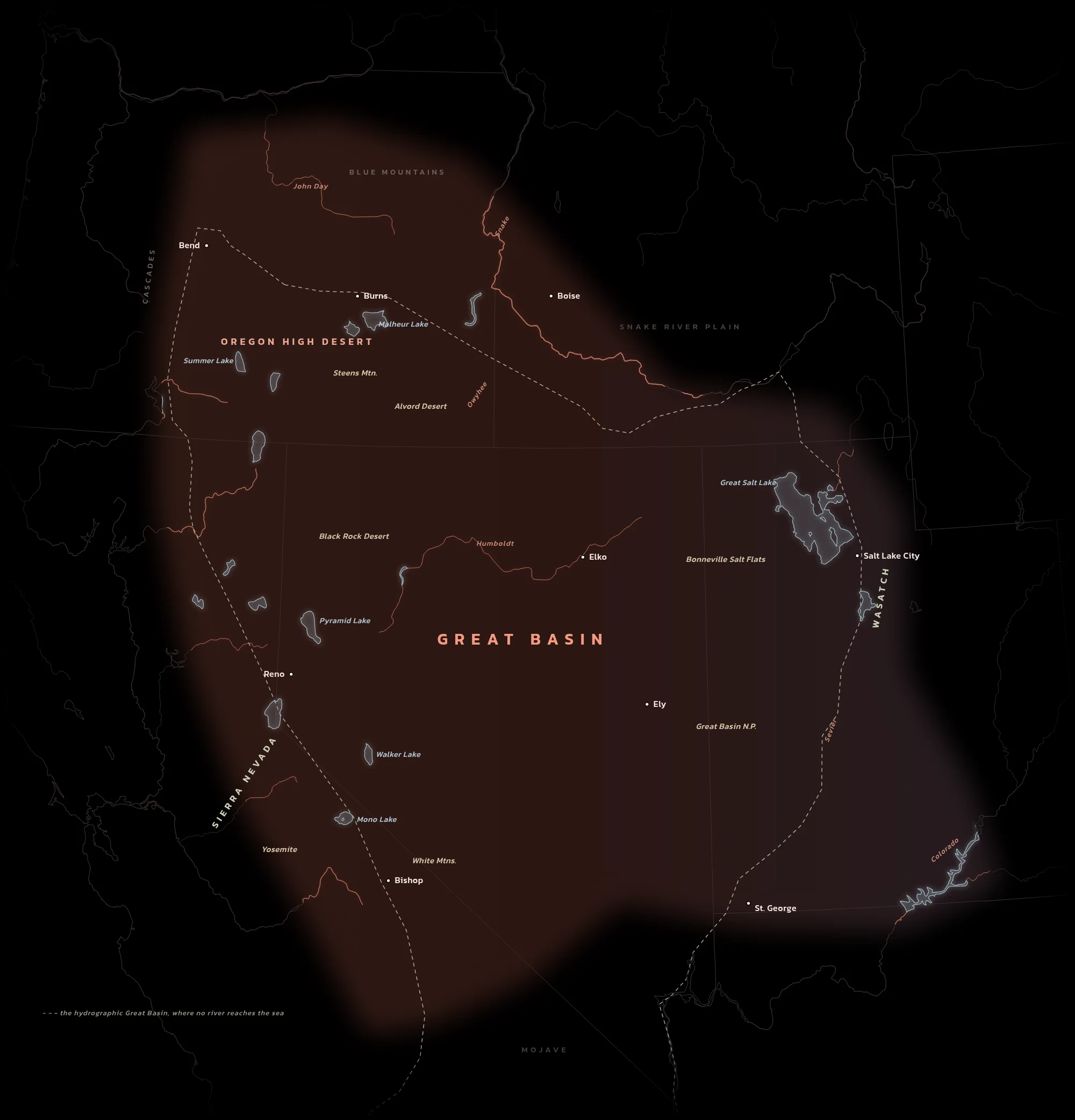
In the 1840s John C. Frémont noticed something strange about the country between the Sierra Nevada and the Wasatch: none of its water gets out. The Humboldt runs three hundred miles across Nevada and simply sinks into the desert. Every river here ends in a salt lake, a marsh or a dry playa, and Frémont named the whole enclosed country the Great Basin.
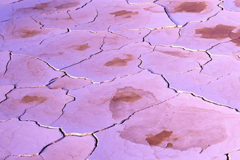
Inside it, the land is stretched. Hundreds of mountain ranges run north to south, each one followed by a long flat valley, then another range, then another. Sagebrush covers the valleys, bristlecone and limber pine hold the high ridges, and the playas are the beds of Ice Age lakes: Lake Bonneville, which left Great Salt Lake behind, and Lake Lahontan, whose last pools are Pyramid and Walker lakes. This is the largest cold desert in the United States, home for thousands of years to the Northern Paiute, Shoshone, Ute and Washoe.
My Great Basin is the bigger one. It runs north past the edge of the drainage into the high desert of eastern Oregon, and west to the Sierra Nevada, the granite wall that wrings the Pacific storms dry and casts the whole region into its rain shadow.
- 0rivers that reach the sea
- 20,000 sq miIce Age Lake Bonneville, almost the size of Lake Michigan
- 5,000 yearsPrometheus, a bristlecone pine on Wheeler Peak, when it was cut in 1964
- 10,000 yearsthe sagebrush sandals of Fort Rock Cave, the oldest dated footwear
From the High Desert to the Southern Rim
My stories, from north to south, the way the map reads.
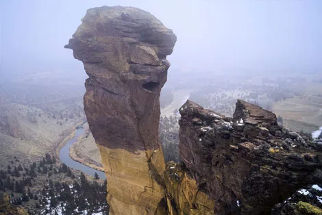
- The Oregon High DesertLake County to the OwyheeThe northern rim of the basin: ancient lakebeds, obsidian, the Steens and the Alvord playa, and the canyon country of the Owyhee and the John Day.
- Basin and RangeNevadaThe heart of it: valley, range, valley, range, crossed by a highway with almost nobody on it.
- The Sierra Wall and the Eastern EdgeYosemite, Mono Lake and the Owens ValleyThe granite range that makes the rain shadow, and the valleys and lakes that sit in it, with the oldest trees on Earth across the way.
- The Southern RimSouthern UtahWhere the basin gives way to sandstone: Zion, the Escalante and the canyons above Lake Powell.