Tunisia Map
I painted this map of Tunisia for upcoming stories in the Dry World.
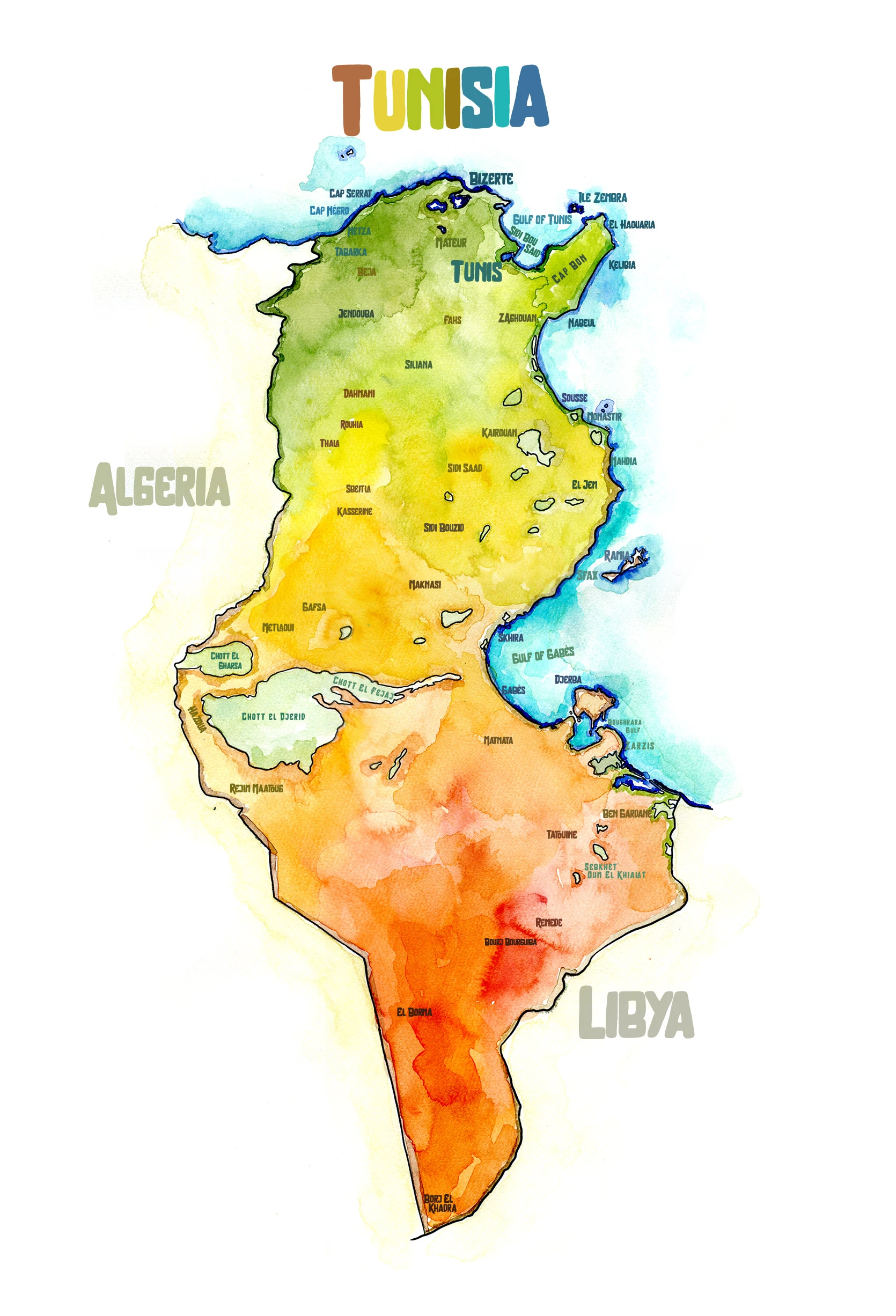
Though small on the map, Tunisia contains a surprising range of landscapes. The country stretches from the humid Mediterranean coast to the edge of the Sahara, where vast tracts of sand dunes and salt flats remain almost entirely empty. Northern Tunisia is green and cultivated, with rolling hills and olive groves, while the center grows drier, giving way to steppe and desert. The Atlas Mountains cross the country's midsection, forming a natural divide between fertile farmland and the arid south.