
Map of Cuba
A watercolor map of Cuba, the largest island in the Caribbean, from end to end.
September 10, 2019
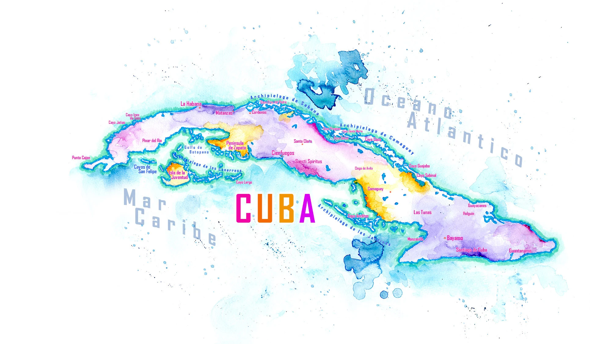
Cuba is the largest island in the Caribbean, a long, narrow arc that stretches nearly 780 miles from the Guanahacabibes Peninsula in the west to Punta de Maisí in the east. For all that length, it is barely twenty miles across at its narrowest point, so the sea is never far away. Cuba is also an archipelago. More than four thousand islands and cays surround it, from Isla de la Juventud, the second-largest, to the long chains of the Jardines del Rey on the north coast and the Jardines de la Reina to the south, some of the healthiest coral reefs left in the Caribbean.
Most of the island is gentle plains and rolling farmland, the rich red soils that made Cuba a world power in sugar and tobacco, but three mountain regions break it up. In the west, the Sierra de los Órganos rises into the mogotes of Viñales, steep limestone towers standing above tobacco fields. In the center, the Escambray Mountains rise behind Trinidad and the countryside of Sancti Spíritus province. And in the far east, the Sierra Maestra climbs to Pico Turquino, over six thousand feet, the highest point in Cuba and the rugged country where the revolution began.
Cuba’s isolation as an island has made it a place of remarkable endemic wildlife. The Zapata Swamp on the southern coast is the largest wetland in the Caribbean, home to the Cuban crocodile and the bee hummingbird, the smallest bird in the world. The Cuban trogon, the national bird, wears the red, white and blue of the Cuban flag. And on the north coast, where the island is closest to Florida, is Havana, whose old colonial core I wrote about in Habana Vieja.
The Newsletter
See the world through ink and dust.
New essays, field sketches and natural history from the road, free by email.
Subscribe on Substack