
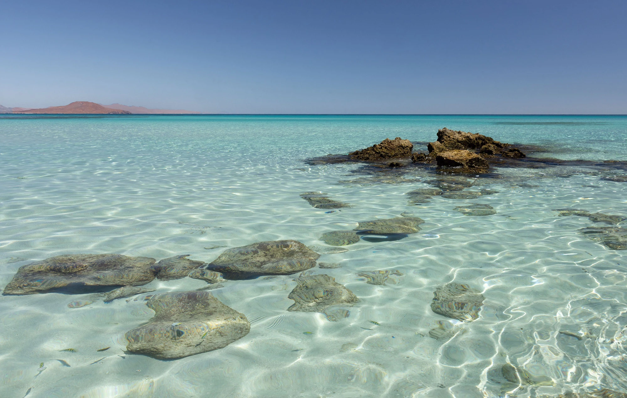
The islands of the Bahía de Loreto, seen from the Baja California Sur coastline.
Playa Los Metates
I am walking along the shoreline of Isla Coronados, one of the five islands of Loreto in the Sea of Cortez. Duvi and I have come out early for the morning light, and while he finds a patch of shade above Playa Los Metates to eat his breakfast, I leave the beach and follow the coast with my camera. Cacti, sharp coastal rocks and spiky shrubs make walking difficult, so I climb a small mound to look for a navigable path.
The view from here is of the colors of desert island shallows: opaline and celadon, limestone blue and sand-filtered turquoise. A Reddish Egret works the edge of the water below me, lurching and spinning after fish. A Black-throated Sparrow sings from the cactus, a bird I never tire of. Out over the water are boobies, Blue-footed and Cocos. I look down at my feet for a moment and note that the mound is made of crushed shells. There are fractured oysters, clams and whelks, thick rounded bivalves, all mixed in with reddish soil and smaller fragments of shell.
I liken the scene to the piles of conch I grew up with as a child; those mounds of Caribbean shell were never more than a few years old. It won't be until later that I learn these are not discarded from some beach party in the 1970s, or the 2010s, or last year. I am standing on a shell midden. The beach below, Los Metates, has a name whose significance I had not considered.
Metates are flat, hollowed slabs of stone which people in Mexico used to grind seeds and meal for thousands of years. This beach may be named after actual tools discovered here.
I have no way of knowing whether this midden is hundreds of years old, or thousands of years old. What I do know is that these middens are almost the only evidence that archaeologists have that people once lived on these islands, or visited over and over again.
But what I keep thinking about is how completely I missed the evidence right under my feet. I was standing on thousands of meals, perhaps played out over thousands of years, and all I could see was a pile of trash.
Once I understand what the mound is, the shells are not enough. I want to see the people who left them: who they were, how they lived out here, how they crossed this water to reach the island. No one photographed them, and almost nothing of their language survives. The people I ask in Loreto tell me no one ever lived on the islands at all. When I go looking for them later, I find almost nothing written about them in English, and in Spanish only a scattering of academic papers, most of them hard to find. All I have are fragments.
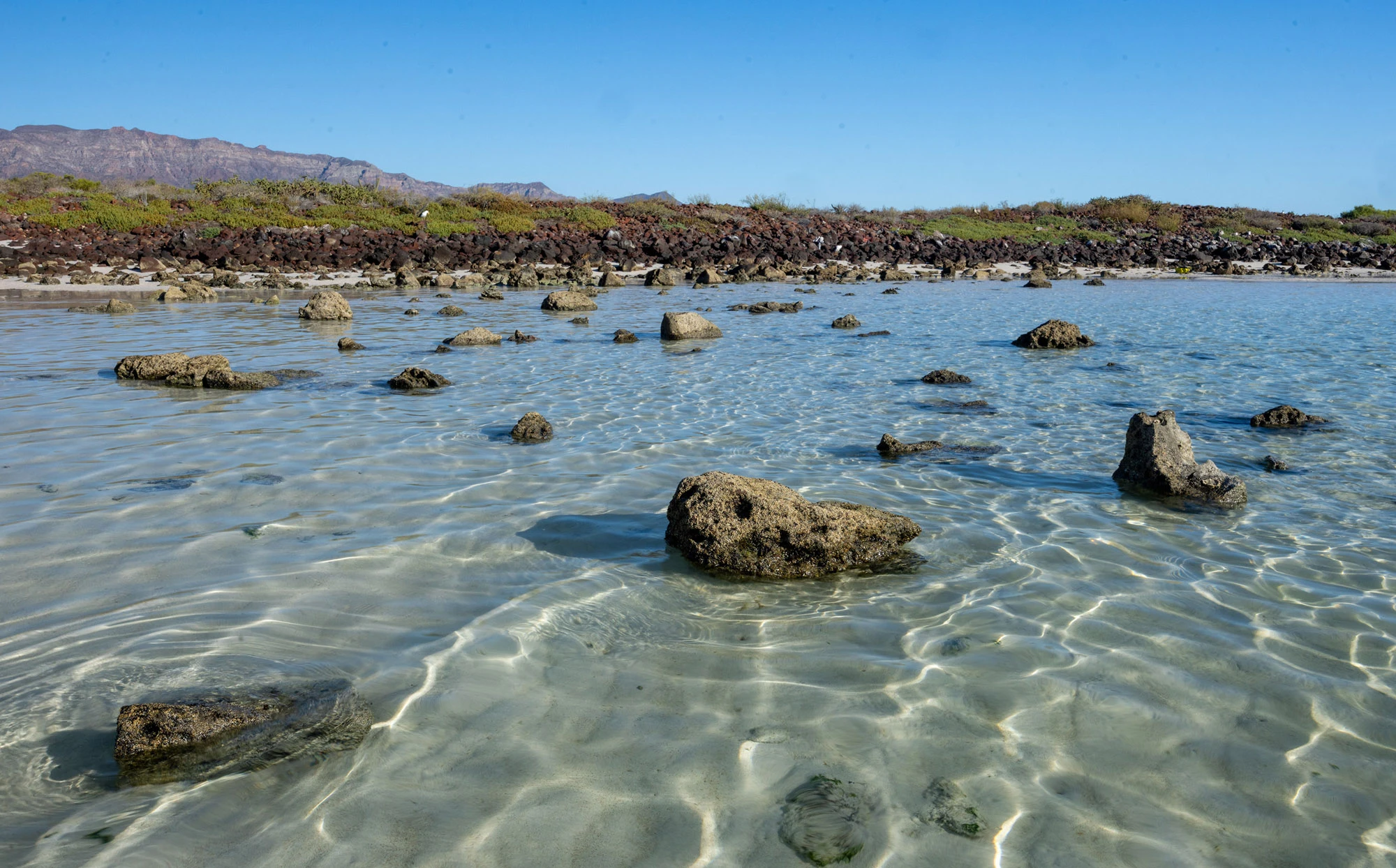
The white sand beach on the leeward side of Isla Coronados.
The Tire
Near the end of the trip, on a Sunday afternoon in Loreto, I am wrung out from a long day of hiking on the islands. It is very hot and humid, and I can't imagine putting on my backpack. My rental came with an old salt-weathered bicycle, and I decide to ride it across town, but it is so hard to pedal and its tires are so flat that I end up pushing it, using it to carry my water bottles. I go to a dirt road named for the Argentine writer Jorge Luis Borges, which runs high above the mouth of the Arroyo Las Parras. I find some big riprap rocks to sit on and watch the estuary below. I am so dragged down by the heat I can barely move.
In my favorite of Borges's shortest stories, "The House of Asterion," the Minotaur tells his own story from inside the labyrinth. Everything in his world repeats endlessly, he says, except two things: the sun above, and himself below.
I think about that for a moment in the heat, then lift my binoculars back to the estuary. I came to Loreto for the islands and the place where the desert runs into the sea. Shorebirds work the mud below me. Cardones stand on the hills. An entire archipelago lies offshore. I have brought binoculars, a camera and a fairly clear idea of what is worth pointing them at.
This morning I stood on a mound of shells on Coronados and thought nothing of it.
Among the White Ibises, Tricolored Herons, Reddish Egrets, Belted Kingfishers, gulls and terns, a Black-crowned Night-Heron crosses discreetly along the river's edge.
It reminds me of a winter morning earlier this year in Oregon, where a handful of night-herons sometimes winter near Portland. I was looking through the spindly trees that hang over a marsh there for the large, hunched bird, and then I saw one: a bright adult in full breeding plumage, white and black and yellow, with that large red eye. I blinked, and there was no night-heron. My mind had built it completely, and drawn it better than I ever could.
While I am watching the real night-heron below me, I notice a cloud of dust out of the corner of my eye and ignore it. Minutes later there are a hundred and fifty horses headed straight for me. When I stand up, I can see men, women and children riding toward the coast. Most wear cowboy hats and carry cans of beer. Norteño and banda play from their radios. Almost every one of them tips a hat or raises a can or greets me some other way, and I have no idea who they are or why they are here. They follow a sandy path down to the beach north of the river mouth, and I watch them ride into the city.
When the dust settles, I sit back down on my rock. The tide is going out, and long strips of sand are appearing offshore, where gulls and terns line up to rest. I start watching them, waiting to see what I can see. Then, in the middle of a large spit at the river mouth, I see something that looks very much like a lone Black Skimmer, one of the strangest and most elegant birds in the world, and one that would be unusual, though not impossible, here.
I want to know whether I am really looking at a Black Skimmer. It is very far away, the kind of distance where a birder needs a scope on a tripod. I sit as still as I can and stare. The size is right. The long, low shape is right. It is a little odd that it is sitting there by itself, not moving at all. I spend half an hour studying it and can't quite prove it to myself.
Finally I get up and push the bike down the sandy path, now laden with horse poo, and push it through the thick sand and leave it in the scrub at the edge of the river mouth. I walk out through mud and algae-lined pools, half an hour more in the heat, until I reach the spit and stand over the bird. It is a piece of tire.
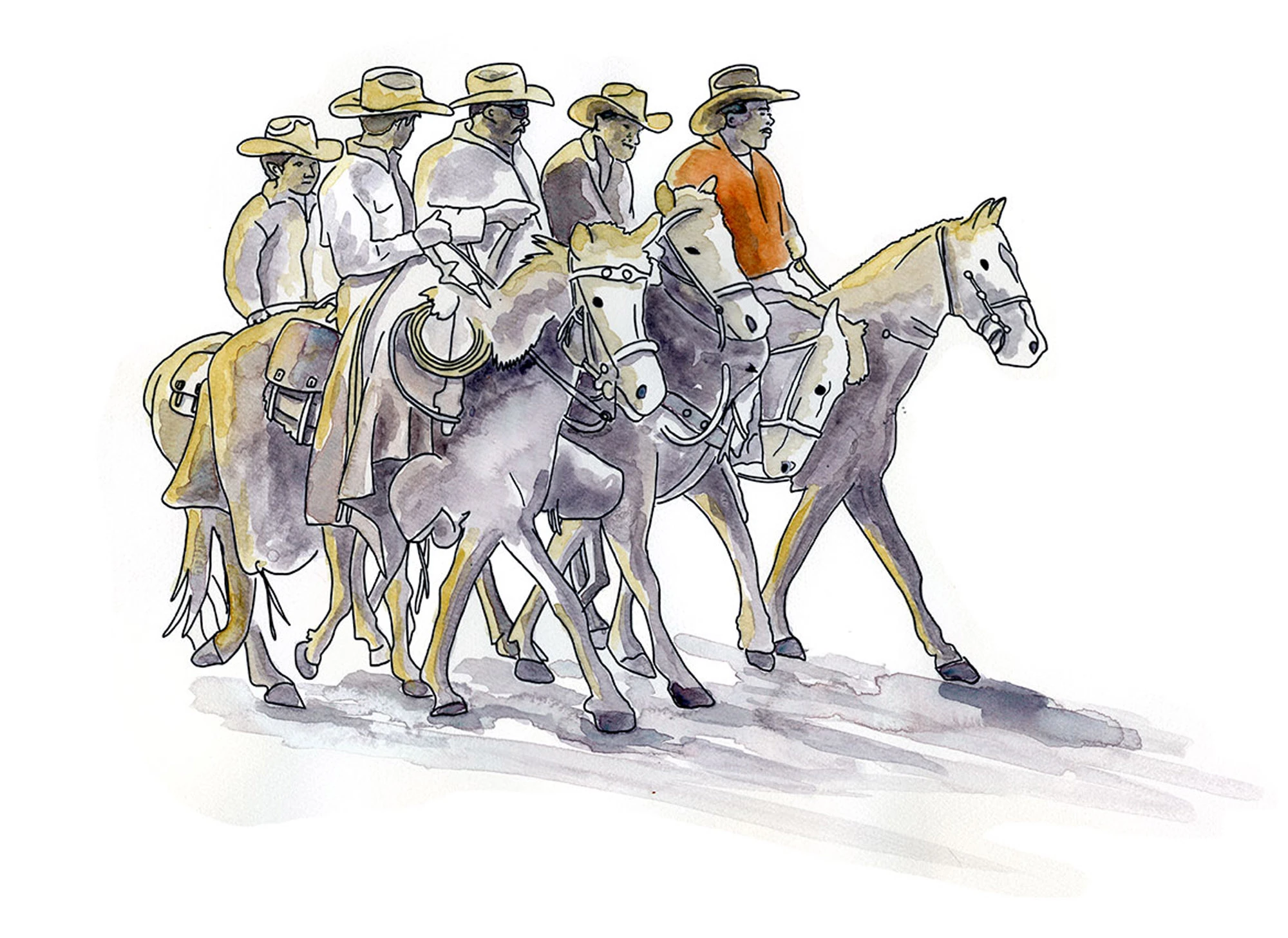
Rancheros on horseback near Loreto. Watercolor and ink sketch.
Sunday Riders
At some point I ask Duvi about the people on horses. He explains that they are rancheros. Every Sunday they ride into town to show their pride, to remind the people of the city that they are there too. They live up in the Sierra de la Giganta, raising cattle and goats in country where water is scarce, the roads are rough, and independence is a necessity.
Duvi lives in both worlds. On workdays he is out on the water, and after work he visits his elderly father and keeps up with his grandchildren's sports. But his favorite time is when he and his wife get into their truck and head up into the mountains, to the family ranch, where they keep goats and make small batches of cheese.
Sea on the workdays, sierra when he can: people have divided their lives that way on this coast for a very long time.
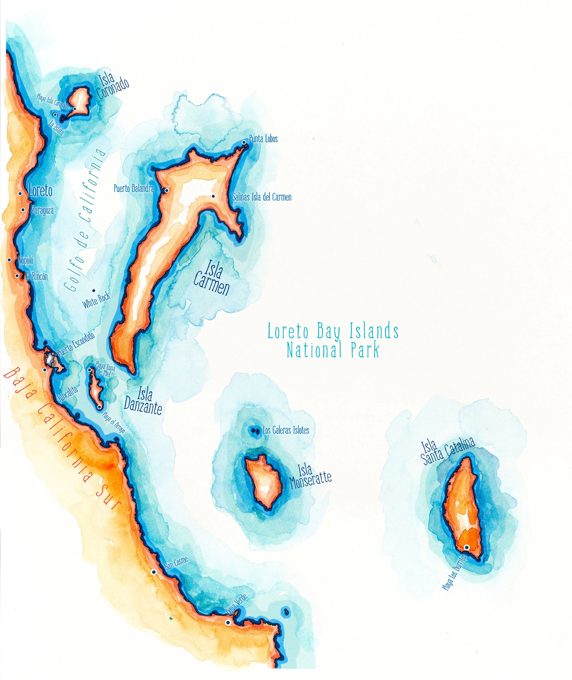
The islands of the Bahía de Loreto National Marine Park, in the Sea of Cortez off Baja California Sur. Liner pen, watercolor and Copic markers.
The Smallest Seabird
Over three days, Duvi takes me to Isla Carmen, the largest of the islands. We visit its far north and its far south, and we stop in Puerto Balandra, an enclosed bay so sheltered it looks like a lake, so that I can wade through the mangroves. The water among the roots is crystal clear and full of schools of mixed fish. The steep slopes above the bay are covered with cardón, the largest cactus in the world.
On the island's southern coast I walk alone along the shore and find a low shrub covered in yellow flowers like small hibiscus, each with a heart of deep red where the petals meet, brilliant against the turquoise water below. It turns out to be San Marcos Hibiscus, Gossypium harknessii, a wild cotton that grows only in Baja California and its Gulf islands, mostly near the sea.
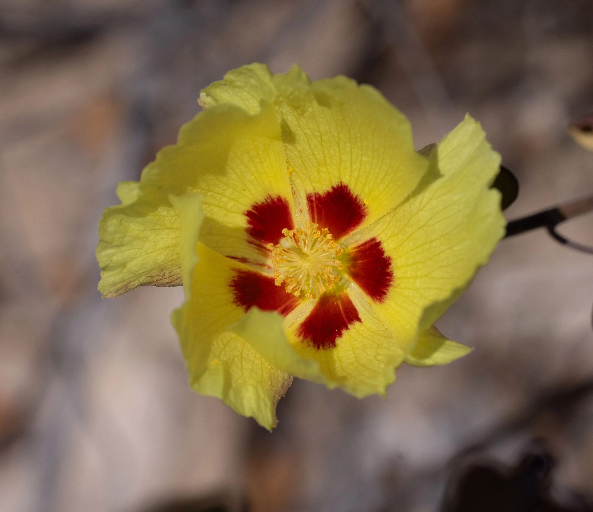
A San Marcos hibiscus in bloom on Isla Carmen.
Later I learn that the people of Loreto had their own idea of this island. A Jesuit writing in the 1700s recorded that some of them believed the dead went to Carmen, the empty island across the water from the mission. When a Spanish pearling crew landed here in 1633, the people they met came toward them trembling. They spoke a language the Spaniards had never heard, they had plainly never seen Spaniards, and they gave the strangers roasted fish. The people I ask in Loreto remember the islands as empty. The middens say otherwise.
Crossing to Carmen, there are dolphins and mobula rays everywhere. Whenever we stop for a long time to watch them pass, Duvi cuts the engine and makes the sign of the cross. "Gracias, Señor," he says, and then, for my benefit, "Thank you, Señor." What there isn't is people. No cruise ships, no marlin-fishing yachts, almost no large vessels at all, just enormous open water. It feels like one of the wildest seas left on earth. But the Sea of Cortez has also been fished, dredged, pearled and trawled for well over a century, and the abundance I see is what remains. Scientists call this the problem of shifting baselines: each generation takes the sea it inherits as the normal one. I have no way to see the sea that the people of the Coronados midden knew. I only have this one, and it looks full.
On the way back to Loreto one afternoon, the water is choppier than usual. I have been watching for seabirds almost the whole time we have been on open water, petrels or shearwaters, and have seen nothing. I have mostly given up. Duvi and I are standing under the sun hood, the boat running at nearly full speed, when suddenly something appears right alongside us, no more than twenty-five feet away. It is the tiniest bird. I have no idea what it is. At first I think it must be a swallow, or even a bat, from the floppy way it flies. It seems far too small to be out on open water, and it is so hard to see among the waves. It is going faster than we are, and I need more time to identify it.
"Speed up," I tell Duvi. "That way!"
He slows down. He can't see anything. "Are you sure?" he asks, looking around.
"Just go as fast as you can."
He slows almost to a standstill. I lose my bird.
But I can't let it go. Over the next days I work it out the slow way, by elimination, because I don't know the storm-petrels of the Sea of Cortez well, and at first I don't think I have enough to go on.
I just have a handful of pieces. The bird was all dark. I remember the shape of the tail. Its sparrow-size, and its bat-like flight over the choppy water. The season. The place. Together they fit only one bird. It was a Least Storm-Petrel, my first ever, the smallest member of the order that includes the albatrosses and shearwaters. It comes ashore only to nest, on islands here in the Sea of Cortez and off the Baja peninsula, and spends the rest of the year out over the open Pacific.
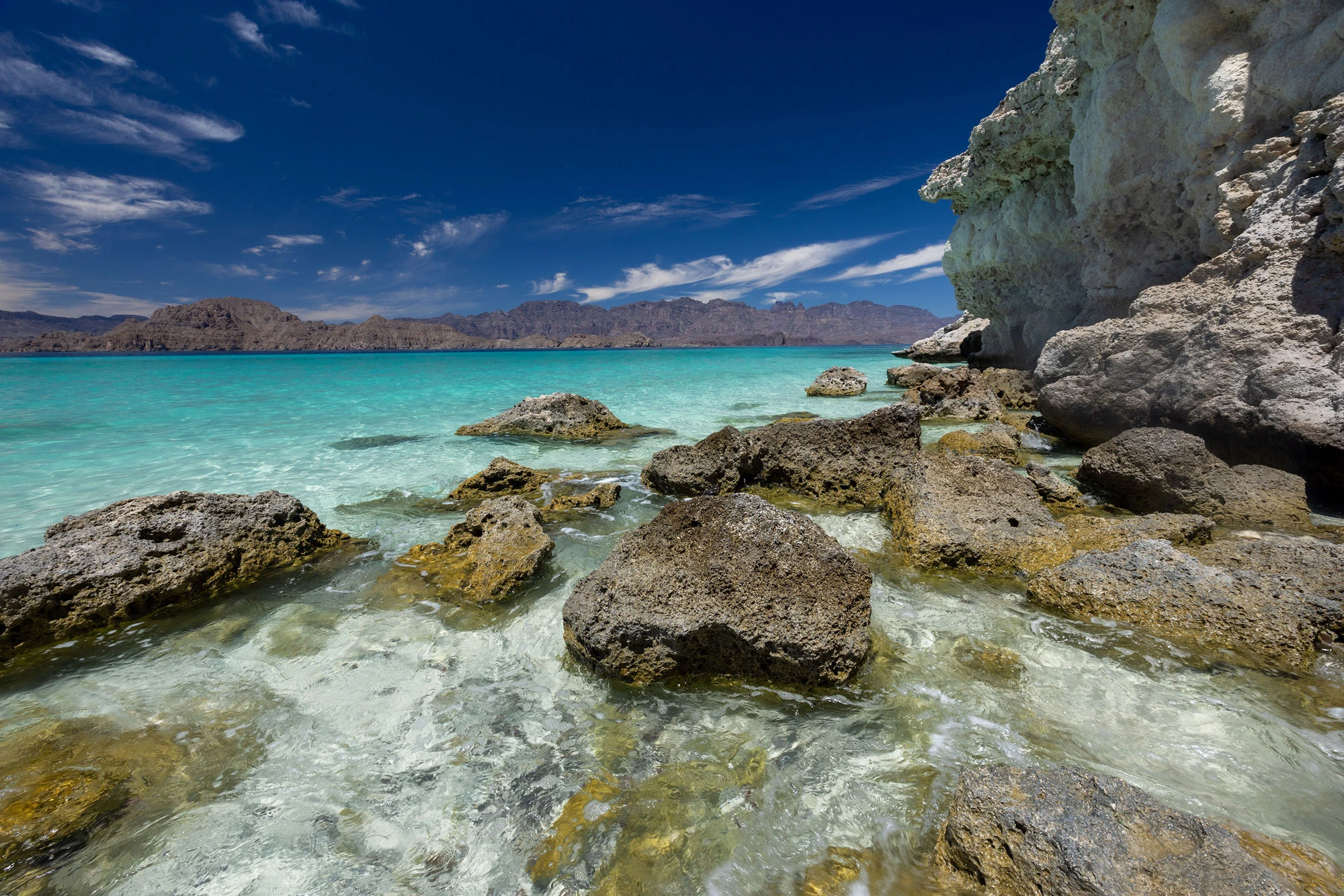
Isla Carmen, the largest island in the Bahía de Loreto archipelago.
Salt and Pearl
Carmen has a long record of taking. The Jesuits won the right to its salt in 1698, and the sales helped pay for the mission at Loreto. A Jesuit historian described the salt flat as a plain that seemed covered in snow, so bright that men could cut it only in the first and last hours of the day. Salt was cut there in blocks until the salt works at Bahía Salinas closed in 1984. Coronados gave something too. The mortar of the mission at Loreto was mixed with limestone from the island where I stood on the midden, and its white stucco was burned from coral rock gathered on the beaches near town. The mission built among the Monqui was raised, in part, out of the sea.
Carmen's pearl oysters went the same way. Diving suits arrived in 1874, and by 1940, after overfishing and an oyster disease had stripped the beds, Mexico had banned the taking of pearl oysters altogether.
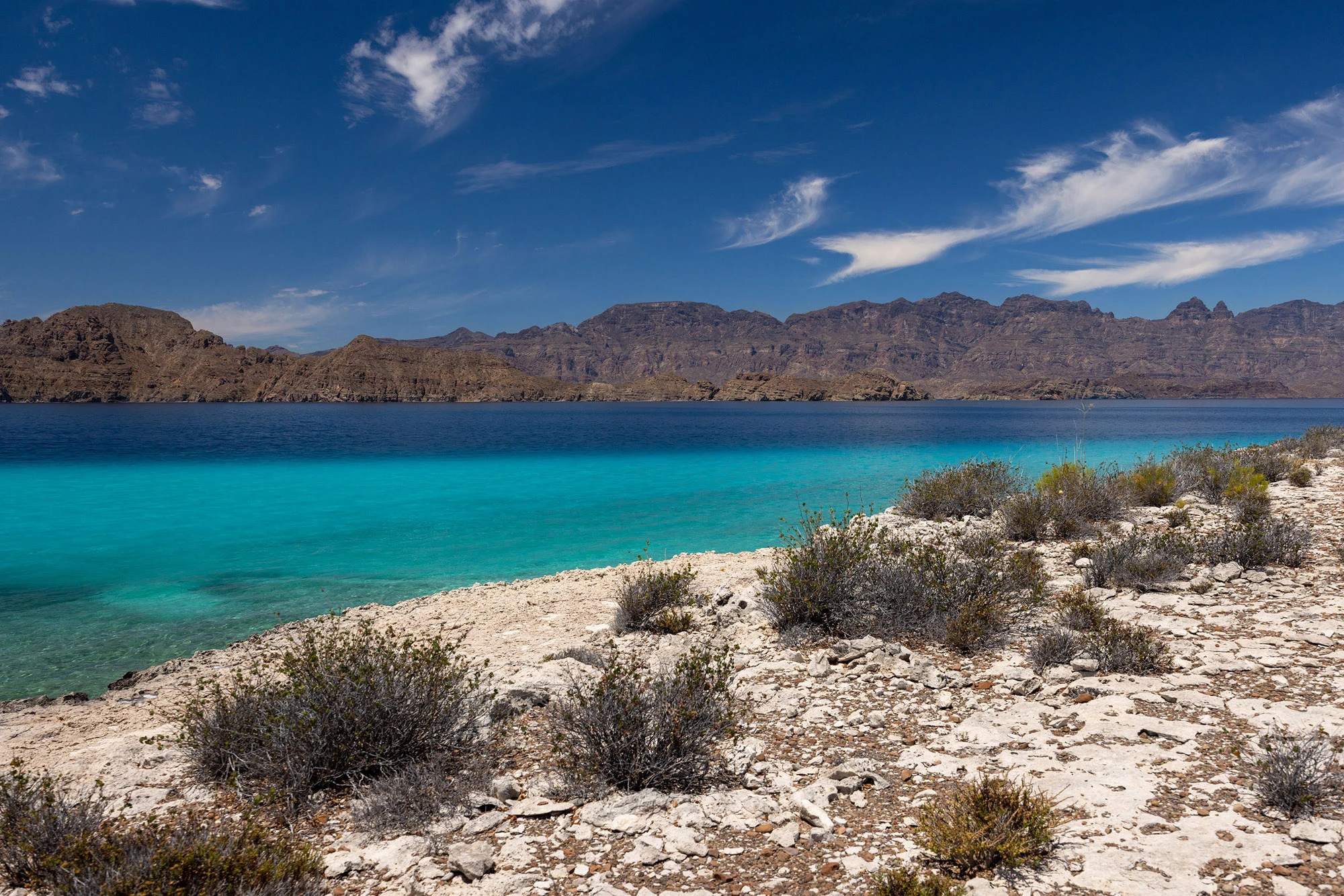
The desert coastline of Isla Carmen, dropping straight into the Sea of Cortez.
Fourteen Names
I have been to Espíritu Santo. Years ago I waded ashore there onto a white beach that looked as if no one had ever stood on it, with millions of shells scattered across the sand. I went there to make large-format photographs, and for four days my camera recorded nothing; every sheet of film came back blank. I remember the scenes I photographed like it was yesterday, but I can never show you. I didn't know then what was in the rock shelters elsewhere on the island. I had made the midden mistake before, and my camera had made it with me.
Back home, I start reading about who lived here, and the reading takes some finding: a few journal articles in English, and in Spanish, conference papers, a park management plan and a university thesis that I track down one by one.
When the Spanish arrived at Loreto, the people living here were the Monqui, a people with a language of their own, possibly related to Guaycura. In 1697 the Jesuits built their first lasting mission in the Californias on the shore where the town stands today.
A desert as dry as this could only ever feed a few people, and so each band would need a great sweep of shore, canyon and sierra to hunt and forage their way through the year. There were probably never more than 400 Monqui, spread along some sixty-five kilometers of coast and up into the mountains.
Within a century, the Monqui way of life was gone, eaten away by mission life and European diseases. Of their language, only fourteen place names survive, and a single sentence: "The mules have not thrown the boys." I think of Asterion again, in his labyrinth where everything repeats fourteen times and fourteen means infinite.
People were living at Covacha Babisuri, eating from the sea, roughly 12,000 years ago, when Espíritu Santo was still joined to the peninsula. There, archaeologists found ornaments and possible fishhooks carved from pearl oyster shell. They found the heavy shells of giant bittersweet clams, the same clams I saw at Los Metates, worn in ways that show people used them as tools. On Isla Cedros, on the Pacific side, the layers that held the earliest shell fishhooks in the Americas, about 11,000 years old, also held the bones of deepwater fish, which suggests someone was going out in boats.
At San Bruno, a short drive up the coast, Mexican archaeologists dug ahead of a planned resort and found sixteen sites. The largest midden runs more than half a kilometer along the dunes, with more than twenty kinds of shell in it, many of them burned. Three metates lay near its crest. In a dune nearby, where ash has turned the sand gray, they found a child, or perhaps an adolescent, buried on one side with knees drawn up, five slabs of stone laid over the body and two grinding stones beside it. The chocolate clam that fills one of these middens is still dug from the bay today.
In my last series I followed citrus around Sicily, where every hilltop has its temple and every temple has shelves of scholarship. Archaeologists have been digging the Athenian Agora since 1931. Jerusalem's Old City, less than a square kilometer, has been excavated layer by layer for a century and a half. The Baja peninsula is more than five times the size of Sicily. Its people crossed this water on bundles of reed, and the report on San Bruno, with its sixteen sites and a buried child, fills seven pages of a Mexican conference volume. I can't help thinking that a band of clam foragers working out how to reach an island is a more compelling human history than yet another robed philosopher crouched over his chamber pot.
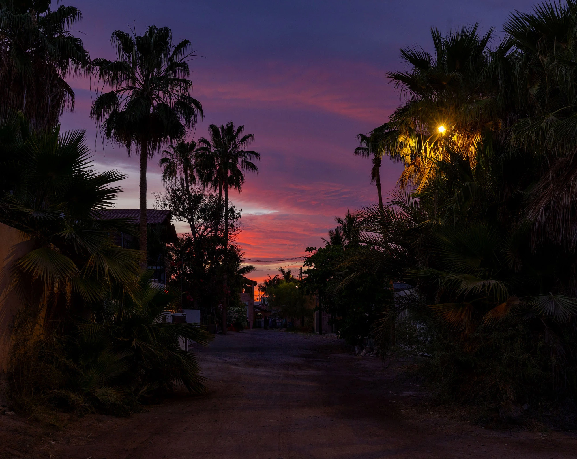
Loreto and the desert coast of Baja California Sur, gateway to the Bahía de Loreto National Marine Park.
El Refugio
On our last day we are on Isla Carmen again, in a narrow inlet that Google Maps calls El Refugio. Limestone cliffs rise straight out of the water, and the light comes down through the shallows onto white sand. I slip in with my mask and snorkel. Within minutes something is stinging me, again and again. I assume it is small jellyfish. Then I see them: strings hung with tiny bulbs, drifting in the clear water, some of them very long. I endure it for about a half-hour. I surface and shout to Duvi. He tells me they are harmless; they don't hurt much. I look down at my belly. Red stripes run across it, in exactly the shape of the strings.
I have no problem with lots of jellyfish stings. But I know enough people who have to carry EpiPens that there is probably something not right about a body full of welts. Later I learn these stinging strings are siphonophores, colonies of tiny animals, relatives of the Portuguese man-of-war.
I flop on the boat like pasta, and suggest we get out of this inlet, and Duvi drives out into the open coast, and this is the best part. I snorkel alone along the shore, so happy to be free of the stings that I drift and drift. At one point a school of big yellowtail surgeonfish surrounds me and circles me for about fifteen minutes, with goatfish and grunts among them and one beautiful king angelfish. I have snorkeled my whole life, and I have never felt this: so outnumbered, so completely surrounded by animals. I am lost in it. When I finally lift my head, the boat is half a mile away.
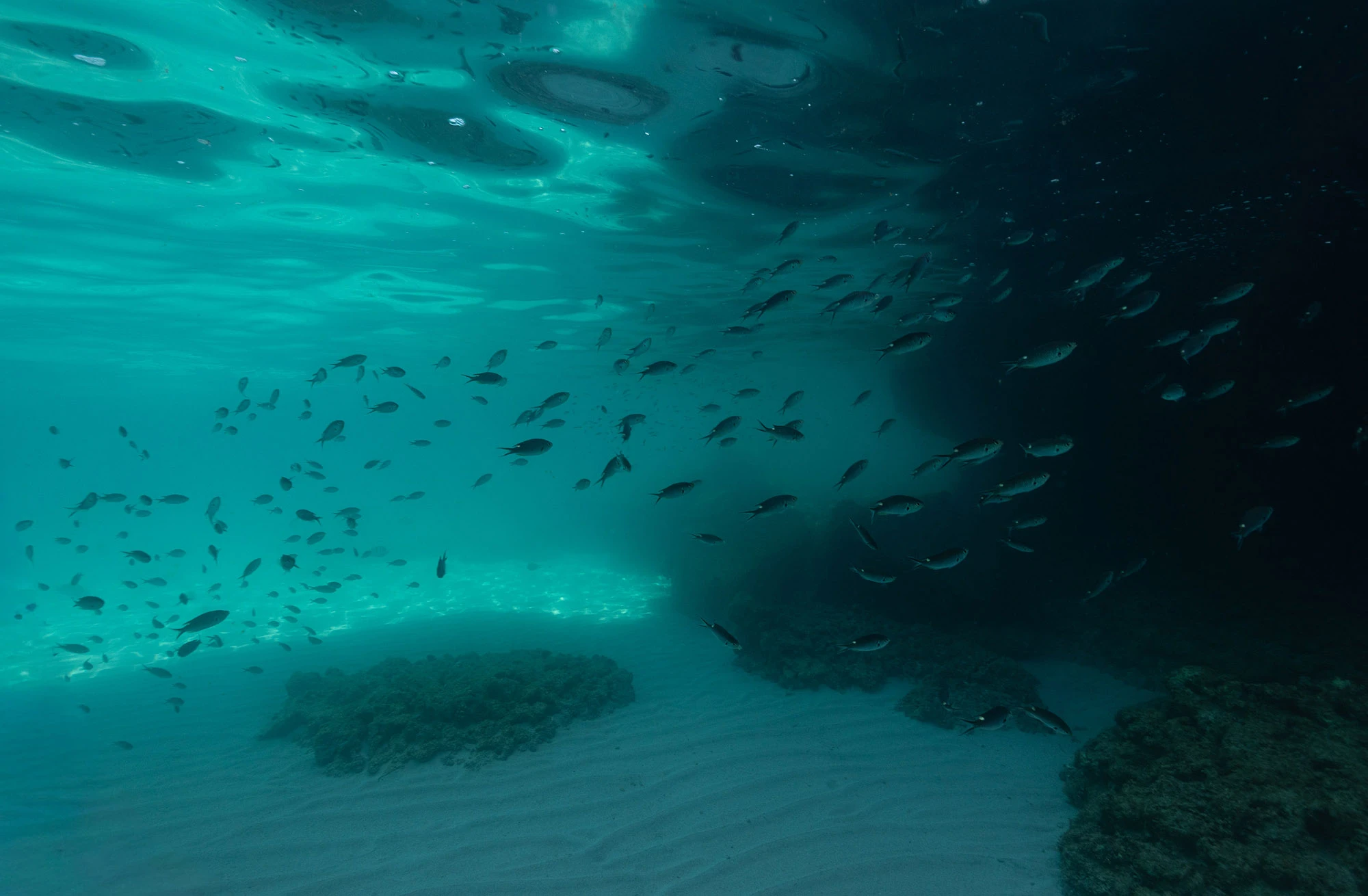
Beneath the surface off Isla Carmen, in the waters of the Bahía de Loreto marine park.
The People of the Balsas
The coastal people, a Spanish observer wrote, were all great swimmers, so skilled that when the sea overturned a balsa they simply set it upright again. Long before the missions, in 1539, Spanish sailors tried to catch a man in the water north of here. He dove and circled their launch until they gave up, and shouted after them as they rowed away.
To reach the islands, they had to cross this water. Spanish observers wrote that rafts were in use all along the coasts of Baja California: balsas of three, five or seven bundles of reed, or of cork-tree logs, up to about two meters long. Across the Gulf, the Comcaac of Sonora were still crossing to Tiburón Island on reed balsas, driven by a double-bladed paddle, into the early twentieth century.
So here is my reconstruction, and it is only that. Imagine a raft of reed bundles pushing off from the beach where Loreto is now, in the flat calm of an early morning like the one when Duvi and I came out. Imagine a double-bladed paddle, just like the ones the Comcaac used to dip on one side and then the other. Imagine these balsas riding barely above the water, and the brown dome of Coronados Island growing larger ahead.
Imagine that the wind picks up across the bay, and a wave catches the raft, rolling it over and spilling the paddler out into the water. The paddler surfaces beside it and flips it back, climbing back on as if nothing happened.
Imagine the crossing as ordinary and that the island was no wilderness to them. It was a place they knew, where the clams were good and where they had eaten many times before.
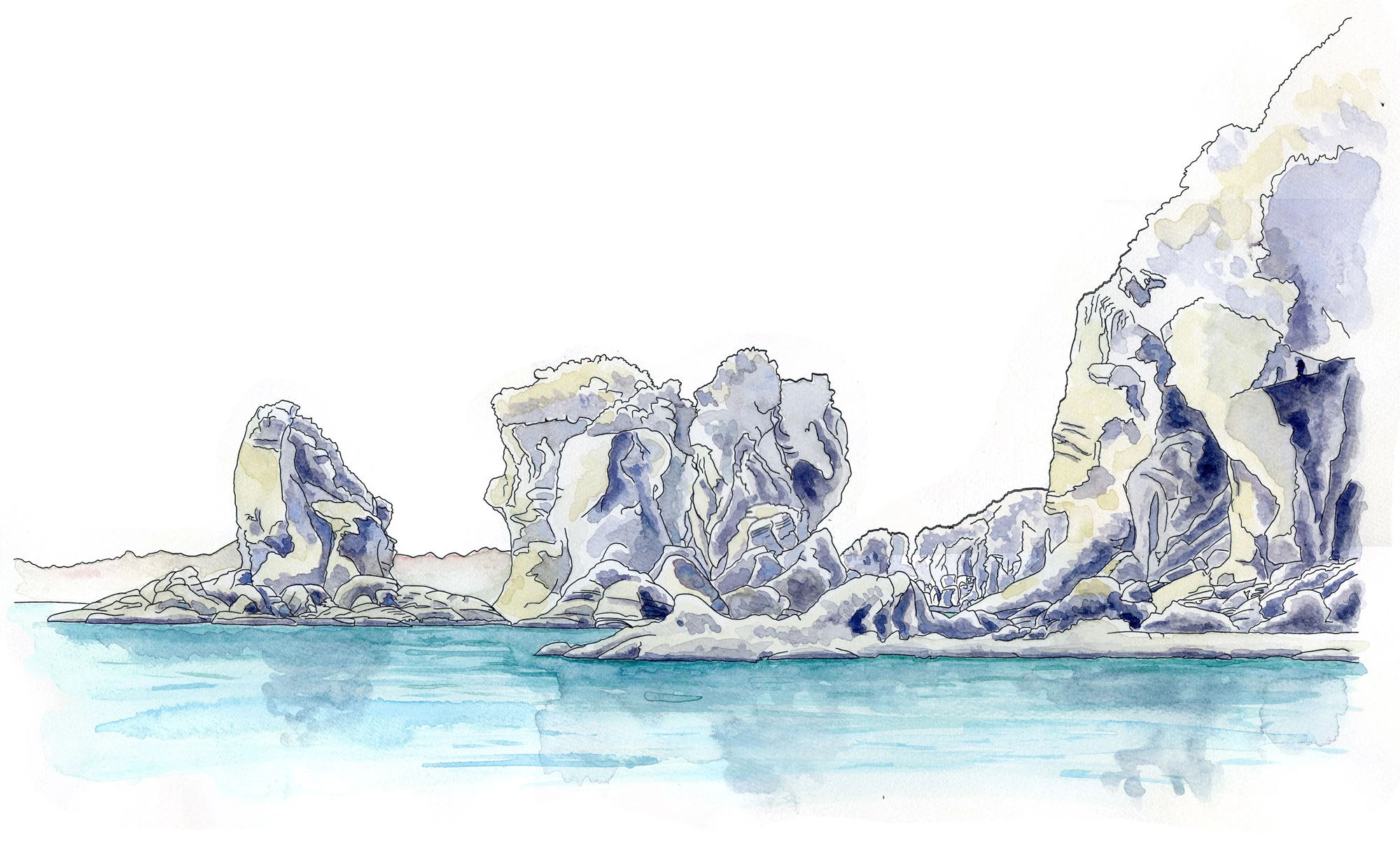
Volcanic rock formations along the shore of Isla Coronados. Liner pen, watercolor and Copic markers.
Six Hundred Generations
Where did they learn to do this? For years I chased a version of that question across Oregon, after my brother Hans and I found a stone tool on a ledge above Leslie Gulch in the Owyhee country. That search, which I called the Owyhee Puzzle, took me from the desert to the Oregon coast and the Columbia River, and finally to the Seward Peninsula in Alaska, which points toward Siberia. It left me convinced that the first Americans most likely came down the Pacific coast by boat.
Archaeologists call this the kelp highway: the idea that people followed the shoreline of northeast Asia through Beringia, into Cascadia and all the way to Patagonia, following the shellfish beds and kelp forests. Baja's Pacific coast, where the Cedros fishhooks were found, is that same coast, farther south.
Evidence of people has turned up on nearly every island in the Gulf, Coronados, Carmen and Danzante among them. So were the paddlers of Loreto Bay using skills their ancestors carried from Asia? We could argue it either way.
One answer is time. If people came down the coast sixteen thousand years ago or more, then something like six hundred generations separate them from the Monqui who met the Jesuits. It is hard to imagine any boat design lasting that long. When I asked my friend Kiliii Yuyan, a National Geographic polar photographer and one of the few remaining builders of traditional skin boats, about the watercraft of the first migrations, he pointed out that kayaks "are also only historically dated back about 4,000 years." Boats change with whatever grows nearby, and here, where there are no big trees, people made them of reed and cork wood.
The other answer is that a skill and a memory are very different things. When you grow up on the water and watch your parents launch a raft every day, you don’t have to remember how to go out to sea.
After Kiliii paddled 315 miles of Vancouver Island's outer coast alone in a skin boat, he said of the hardest stretches, "The surf becomes heinous, but these people were skilled."
If people living along the coasts never stopped going out on the water, the seafaring skills would have gone unbroken from the ice age to 1697, even if every boat along the way was different. Think about it as akin to the way language changes completely over thousands of years without ever falling silent.
Perhaps what the paddlers I am trying to imagine carry as they leave for Coronados is more the knowledge in their bodies than the raft itself: their ability to read a swell and the afternoon wind, and how to right a raft in open water.
The possible fishhooks at Covacha Babisuri warn me against wanting this too much. They closely resemble fishhooks found in Australia and along the Arabian Sea, and no one thinks those peoples ever met.
People who live by the sea know how to solve its problems the same way. Sometimes a resemblance to something from the past is a direct lineage. But perhaps sometimes it is only the sea, teaching everyone the same lessons.
The Monqui, as a people with their own language and way of life, are gone. What they left are fourteen place names and one sentence.

The malecón in Loreto after dark, gateway town to the Bahía de Loreto islands.
Shell Roads
Among the shells in the midden on Coronados are big, heavy clams called Glycymeris gigantea, the giant bittersweet.
Far to the north, the Hohokam of Arizona wore bracelets cut from Glycymeris shells from the Gulf of California. Fragments of them fill the trash heaps of Hohokam villages.
Those shells were traded inland from the Sea of Cortez, across the desert and on routes no one today knows. I have stood on that northern shore, snorkeling off Puerto Peñasco on my way into the black lava of the Pinacate. I didn't think about shells then. Now I think of that coast as the start of a road.
The Sea of Cortez was never a dead end at the edge of a desert. It was a source. What came out of it fed people on its islands, and its shells reached people who never saw it. From the deck of Duvi's boat the Gulf looks like the edge of the world. It was the middle of one.
The Painted Sea
From the boat, I can see the Sierra de la Giganta rising up behind Loreto. It is a long wall of red that reflects in the ocean all across the bay. Those mountains are home to old camps, caves, shell middens, rock paintings and petroglyphs. There was always a direct connection between the people of the sierra and the people of the sea.
The paintings in the mountains of Loreto are not quite as spectacular as the ones farther north. Here you will find red lines, dots, grids and a few handprints.
But there is one site in the hills not far from here where someone cut the shapes of fish and octopuses into the rock.
Years ago, near Mulegé, my brother Hans and my dad and I hired a guide named Salvador and walked up Cañón La Trinidad in the Sierra de Guadalupe to a cave where a deer leaps across the rock in red ochre.
It is one of the best-preserved paintings in Baja. Around it are fish and whales, and as Salvador explained it, shapes that no one can read.
There was a figure with its hands raised up all crazy, that he called the cardón-man. And at the canyon's exit were petroglyphs he said were like signs to other groups that explained what food was available in the canyon and whether they were welcome. Far from the sea, in a dry canyon in the mountains, people painted the sea on their walls.
No one agrees on how old these murals are. When the Jesuits asked the Cochimí who had made the great murals farther north, they said giants had painted them, giants from the north. I first heard that story years ago at a painted cave in the central desert, on a trip through Baja California Norte with my friend Vance. Even the people who lived among the murals were reconstructing their own past, building a story from images they had found. From the boat, looking back at the Giganta, I am doing the same thing.
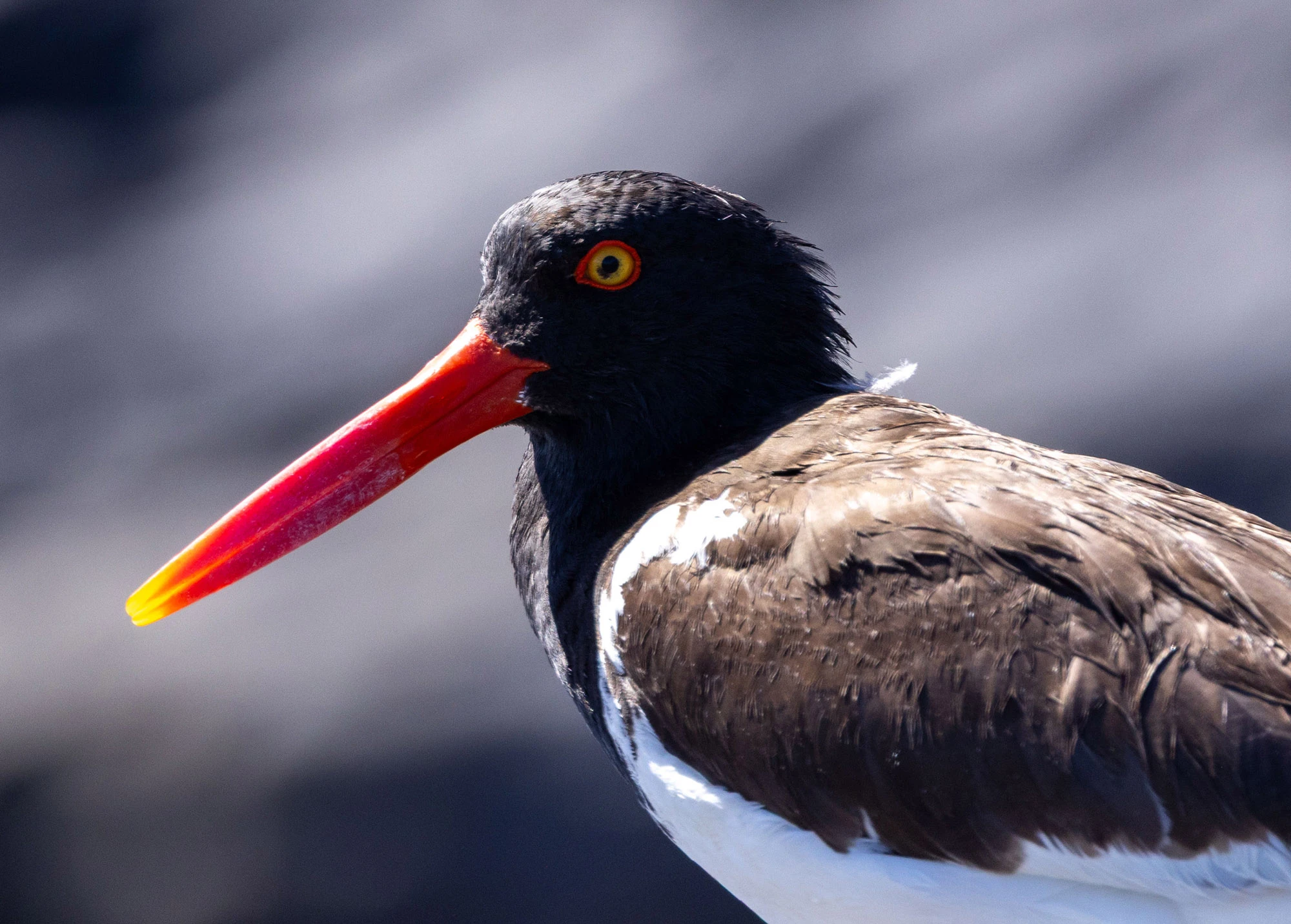
An American Oystercatcher foraging on the rocky shore of Isla Danzante.
Danzante
One morning Duvi beaches the boat at Playa Luna de Miel on Isla Danzante, and I hike alone on the trails above the cove. Afterward we circle the island, looking for boobies, watching mobula rays leap and slap down on the surface, again and again. When the same Spanish pearling crew sailed into this bay in 1633, the people on the shore met them dancing and playing flutes cut from reeds. The Spaniards named the bay for them, and the island took the name too: Danzante, the dancer.
If I went back now, I would step down off that mound more carefully than I climbed it. I would look at the shells under my boots the way I looked at that tiny bird alongside the boat: as fragments of something real, which I can only see by putting them together myself.
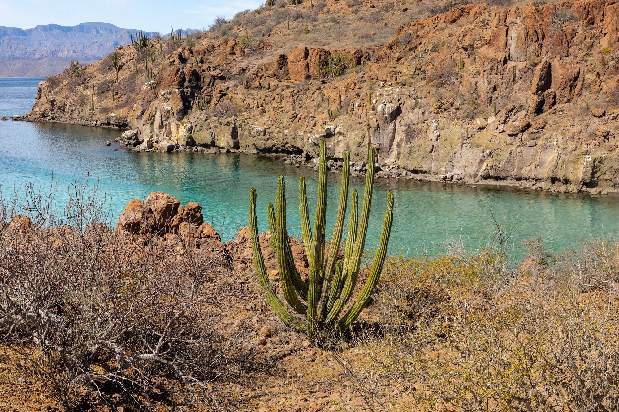
A secluded beach on Isla Danzante, sheltered from the prevailing wind.
The Newsletter
Paddle out to the islands.
New essays, field sketches and natural history from the road, free by email.
Almost there. Check your inbox to confirm your subscription. Nothing there in a few minutes? Subscribe on Substack.
Not an email person? Follow along on Threads, Facebook, Bluesky or Mastodon.